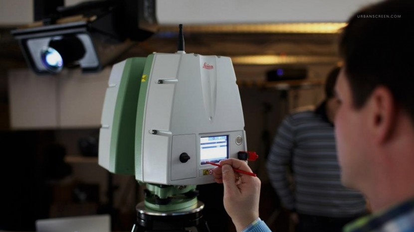
Another great and congenial cooperation we appreciate! Leica geosytems helps us to exactly scan the locations we are performing and staging.
With these 3D laser scanning units we are able to create a 100% perfect virtual model of the architecture we are projecting on. This allows to modify and streamline our workflow sinigicantly.
You may have a look at: Leica geosystems.
⇐ Back